We extend our heartfelt sympathies to everyone affected by 2026 Kumamoto Earthquake.
At around 16:27 on 28 July 2026, an earthquake with an epicenter in the Kumamoto region of Kumamoto Prefecture registered a maximum seismic intensity of 7 (the highest level) in Uki City and Hikawa Town. The Japan Meteorological Agency (JMA) has named it the "Reiwa 8 (2026) Kumamoto Earthquake." The magnitude was M7.1 at a depth of about 10 km, and the tsunami advisory issued for the Ariake and Yatsushiro Seas was lifted at 18:10 the same day.
Earthquakes registering up to seismic intensity 5-lower have continued, and JMA is urging vigilance against strong shaking for about one week — especially in the first two to three days. Human casualties have been confirmed from the explosion and fire at AEON Mall Kumamoto and the chimney collapse at the Nippon Paper Yatsushiro Mill. JR Kyushu suspended service on all lines, and a freight train derailed and overturned near JR Yatsushiro Station. Power and water outages extend across a wide area, centered on Kumamoto Prefecture.
Severe heat continues in the affected areas. With cooling and water supply hard to secure amid outages, heatstroke is a real risk, and the danger of building collapse and landslides is elevated where shaking was strongest. Please check the latest information from local authorities and JMA, and put your safety first.
Since immediately after the quake, the spread of false and misleading information has also been observed on social media. Four representative cases confirmed by Spectee are shown below.
A post with video claiming "explosion at AEON Mall Kumamoto during the quake." While an explosion and fire did occur at the facility, the circulated video was a separate clip filmed at a commercial facility in Toyama Prefecture during the Noto Peninsula earthquake.
A post claiming the "Seven Stars in Kyushu" train had derailed. JR Kyushu has denied any derailment; this appears to have been conflated with the freight-train incident near JR Yatsushiro Station.
Near-identical text apart from the name, listing the same address, was posted from multiple accounts. This drains fire and police rescue resources and is highly damaging.
Posts impersonating victims and soliciting direct personal transfers via QR code. These are not legitimate donation channels operated by public institutions or accredited organizations.
A particularly notable pattern this time was the spread of content that dismissed likely-authentic on-scene footage as "old material," citing generative-AI answers as grounds. Verifying the basis of a correction has become just as important as doubting suspected fakes. Information you are unsure about should be paused and checked before sharing.
Below, we present the overall damage picture as an infographic, followed by a map visualizing where events are occurring, based on posts confirmed by Spectee. (Last updated 29 July, 13:00)
2026 Kumamoto Earthquake
All figures provisional / preliminary
Explosion
Damage
Fire
Logistics
Damage information collected from social-media posts and news reports, plotted and pinned on the map. Click a pin to see the detail and source post in the panel below.
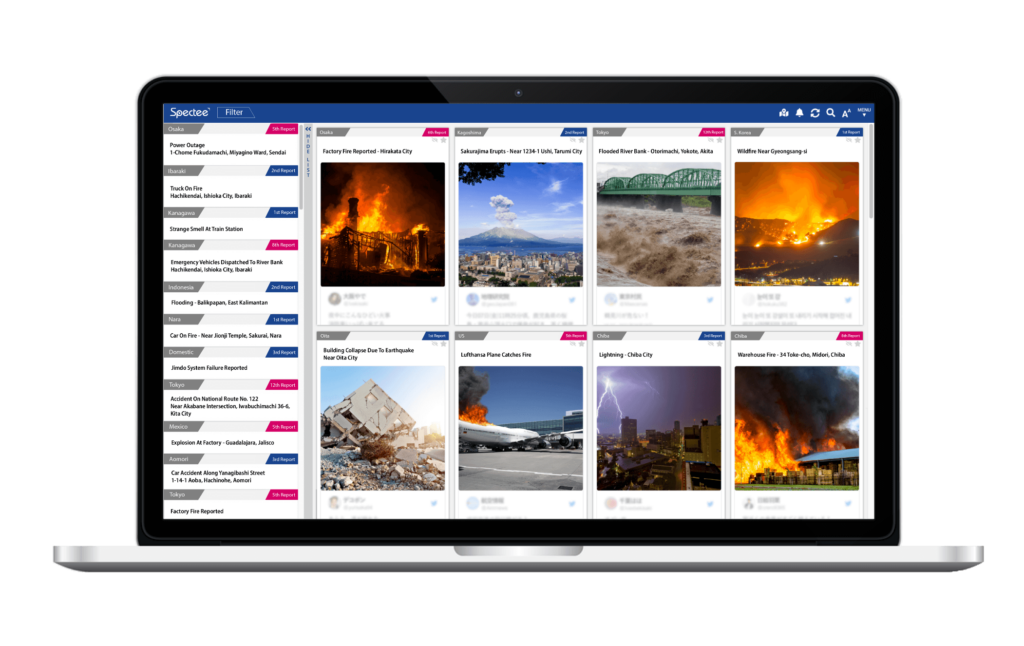
Cloud-based AI Solution for Disaster Prevention and Risk Management “Spectee Pro” ( https://www.spectee.com/spectee-pro/) provided by Spectee is used by many local governments, private companies and the media.With its flexibility, accuracy, and comprehensiveness, it is possible to “grasp the damage situation in the event of a crisis faster and more accurately than anywhere else.”
Utilizing AI to analyze information, from information posted on SNS such as Twitter and Facebook, more than 100 events such as emergency information such as natural disasters, fires and accidents, information on infectious diseases, etc. , airports, stations, commercial facilities, and sightseeing spots, you can check “what is happening where” in real time.

Contact: https://www.spectee.com/contact-us/